què fem
projectes
nosaltres
el nostre equip
Notícies
contacte
eng
|
cat
···
Oops, 404!
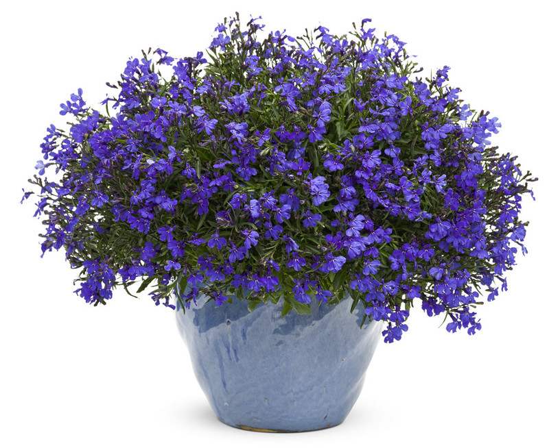
Disoriented? Just sit back and watch this lovely Lobelia: