CryoTop
Fine glacier and ice sheet margin topography
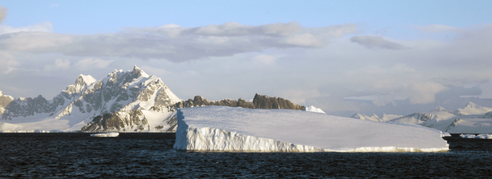
The CryoTop project aimed at developing a new production system to deliver routine and repeat measurements of fine glacier and ice sheet margin (GISM) topography, derived from the CryoSat-2 interferometric altimeter, allowing to provide new and improved measurements of topography in regions which are typically hard to measure, such as high mountain glaciers and ice sheet margins.
isardSAT was responsible for the validation of the L2-swath measurements against airborne data and DEM.
Go to site