Our projects
FirEOcast
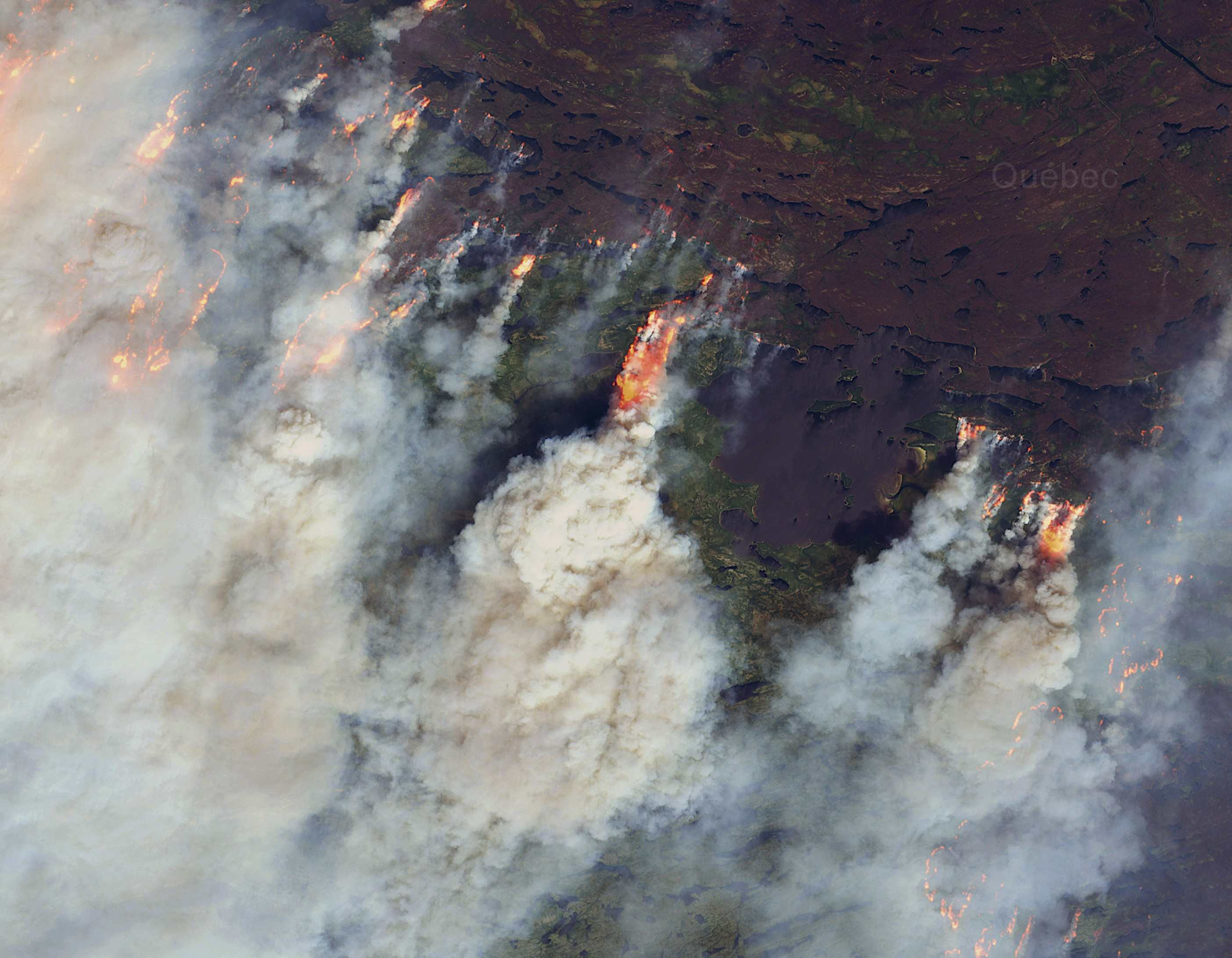
Improved Fire Danger Forecasting
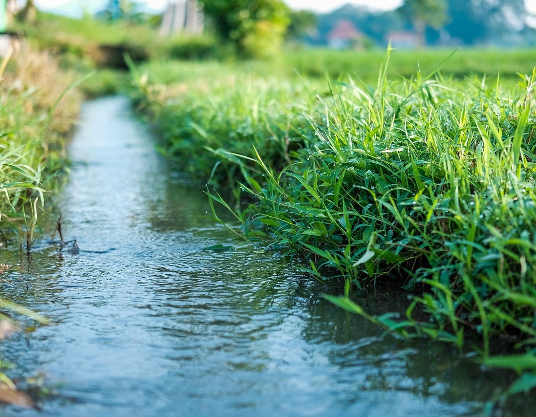
Anthropogenic Water Use
Improved resolution for monitoring irrigation water
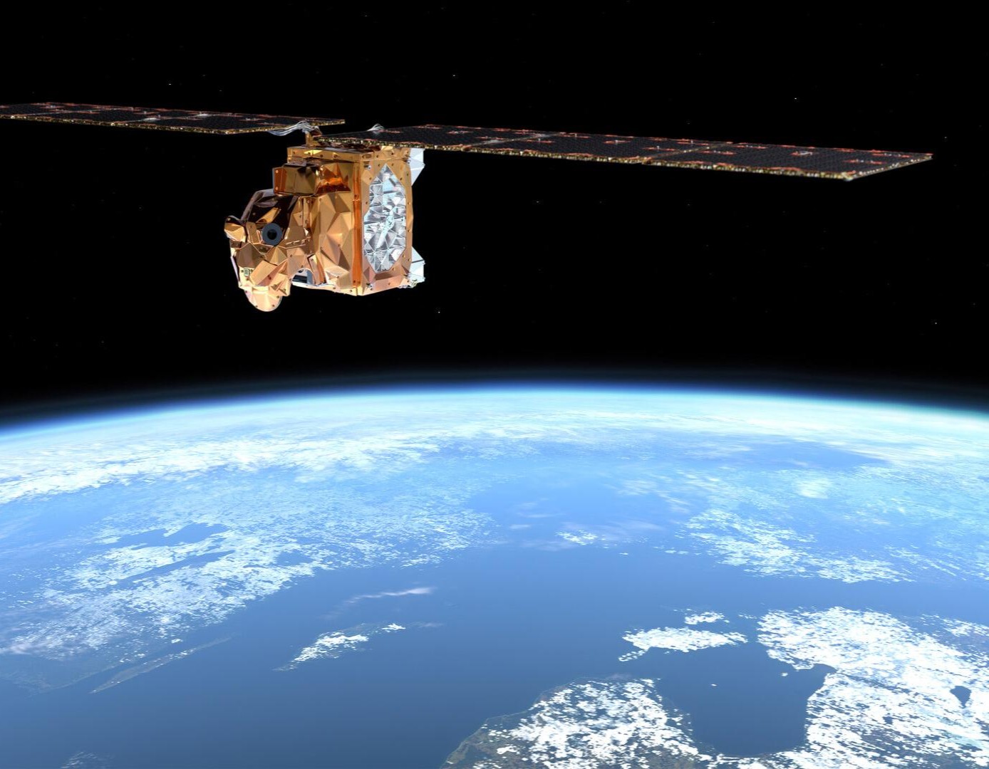
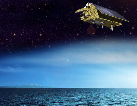
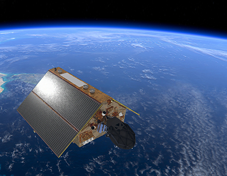
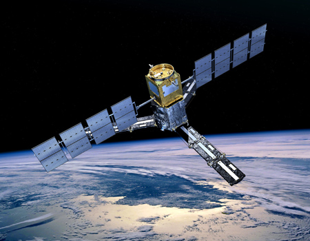
CRISTAL DPs
Operational Level-0 and Level-1 data processors for CRISTAL
TALAia
Intelligent monitoring of aquatic environments
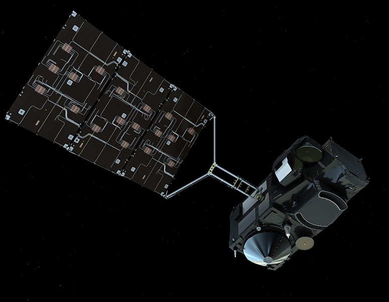
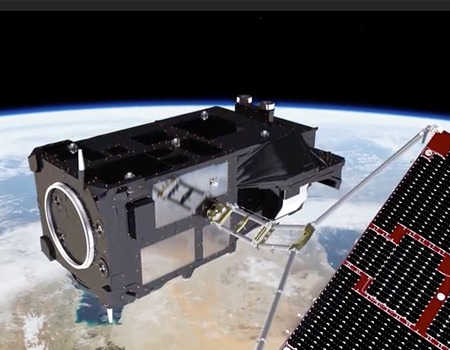
EPS-Sterna
L1B processor for the microwave sounders data
MAENA
Replenishing the small water cycle towards a more resilient Agriculture
RESCAT
Environmental monitoring for climate adaptation and resilience
ENFOCAT
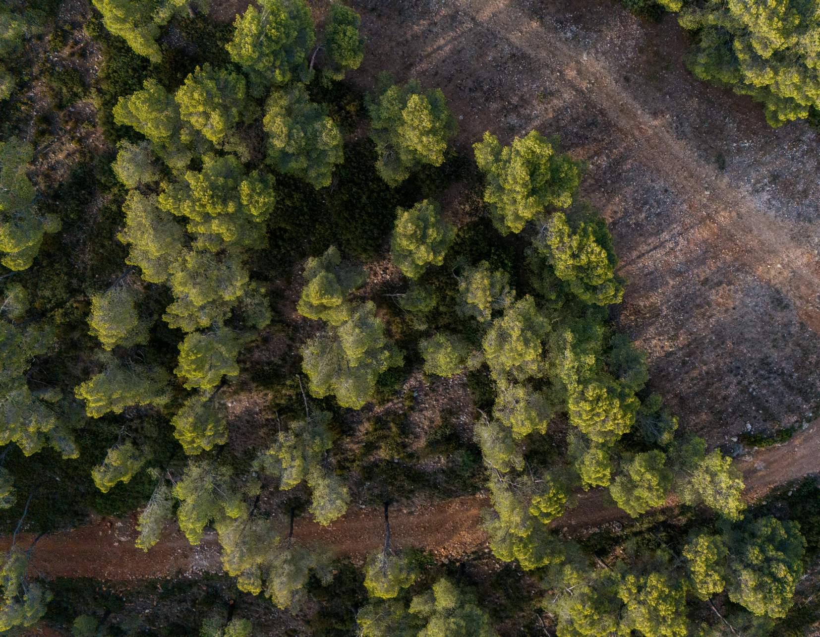
Innovative remote sensing tools to mitigate climate change in agriculture and forest areas in Catalonia.

DPAAR
Altimeter and Radiometer Performance Assessment for ESA Next Generation Altimetry Missions
CLEV2ER SII
CRISTAL Level-2 Processor Prototype for Sea Ice and Iceberg
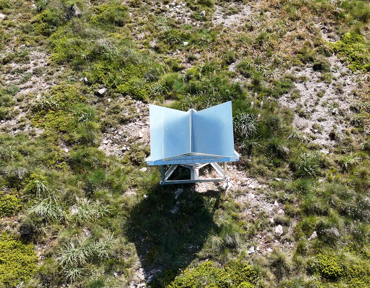
Calibration with corner reflectors
Satellite calibration using passive corner reflectors
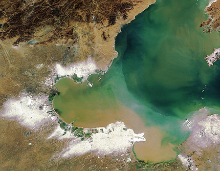
Water Quality
EO for SDG Water Quality Indicator
FDR4ALT
Fundamental Data Records for Altimetry
UK Gravel Barriers
Increasing coastal resilience against climate change
CLEV2ER LI+IW
CRISTAL Level-2 Processor Prototype for Land Ice and Inland Waters
SMART
Monitoring Drought at a High Spatial and Temporal Resolution
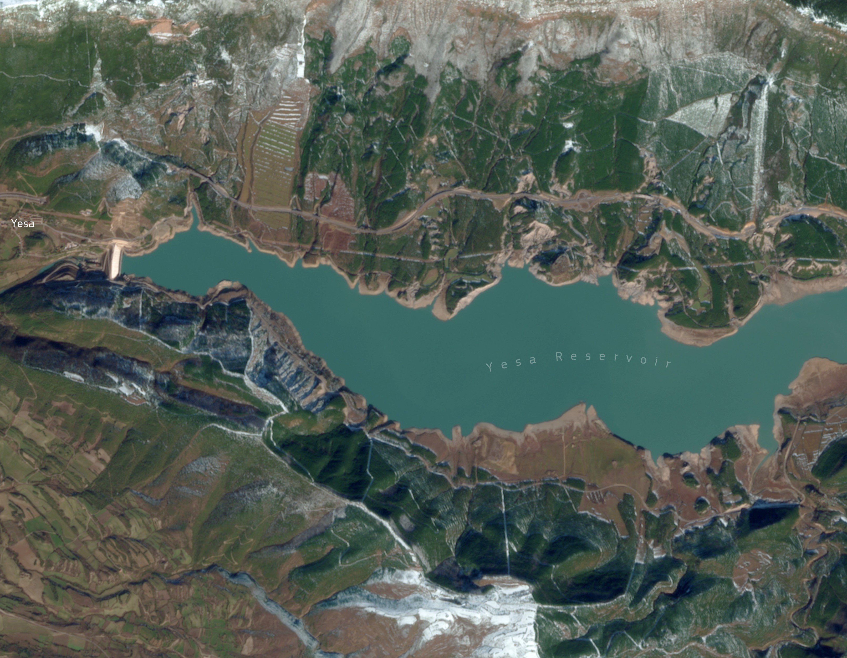
CRISTALair
An airborne demonstrator for the CRISTAL mission
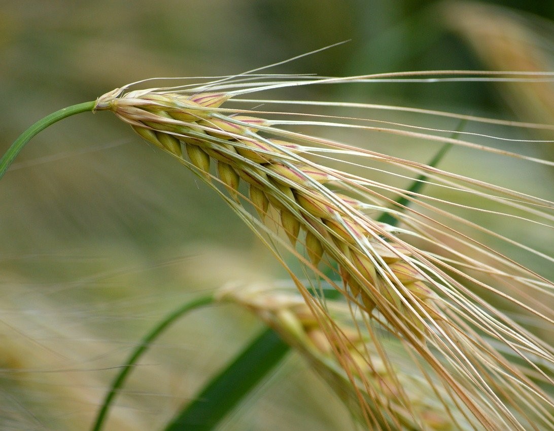
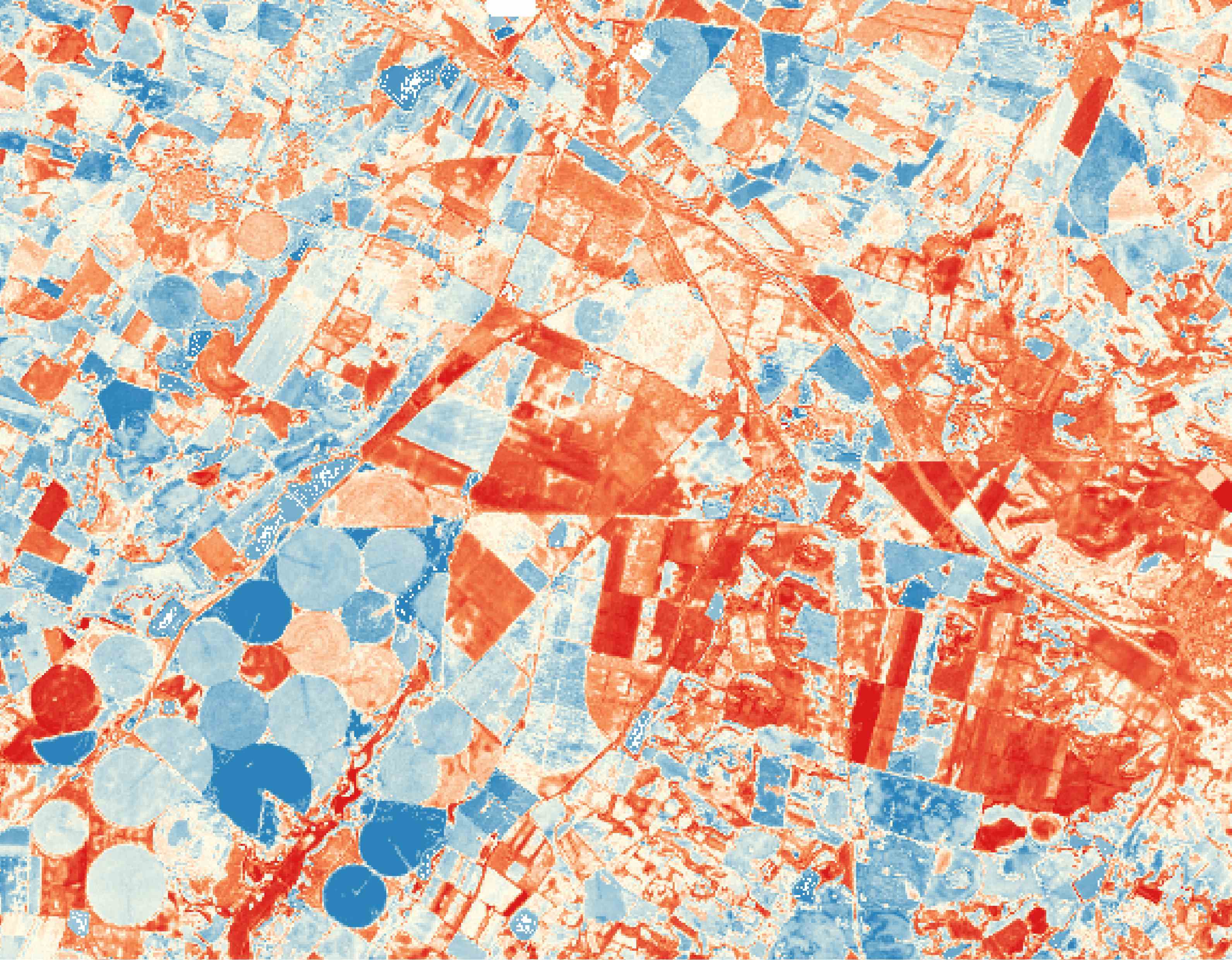
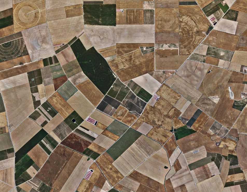
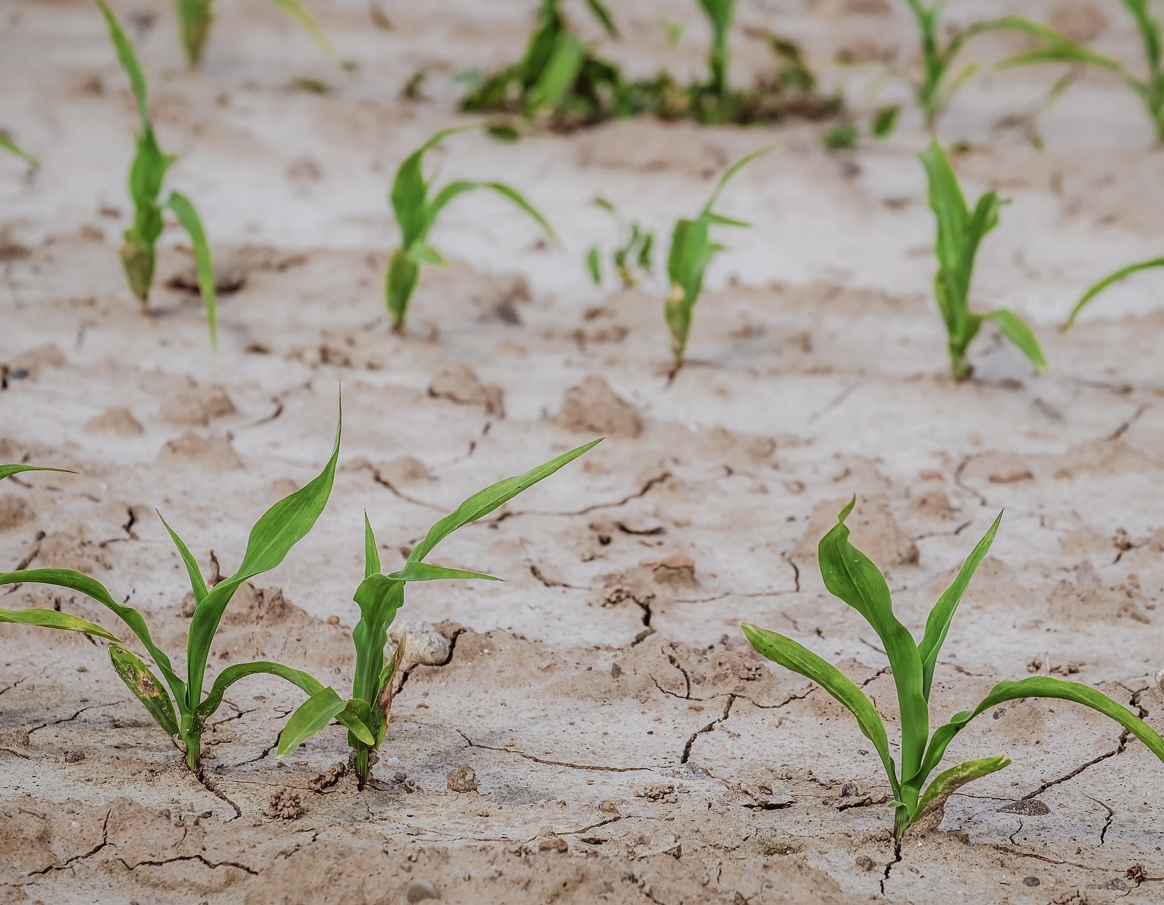
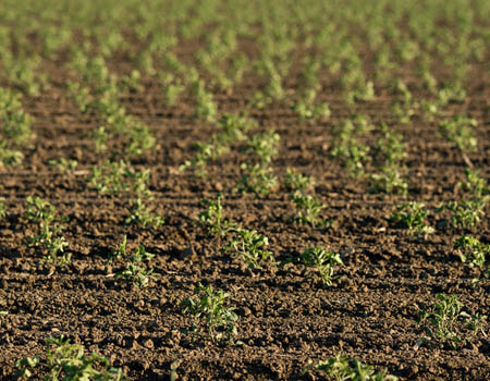
AEI-Agri
Remote sensing data to optimize irrigation in winter cereal
MARE
High Resolution Drought Monitoring
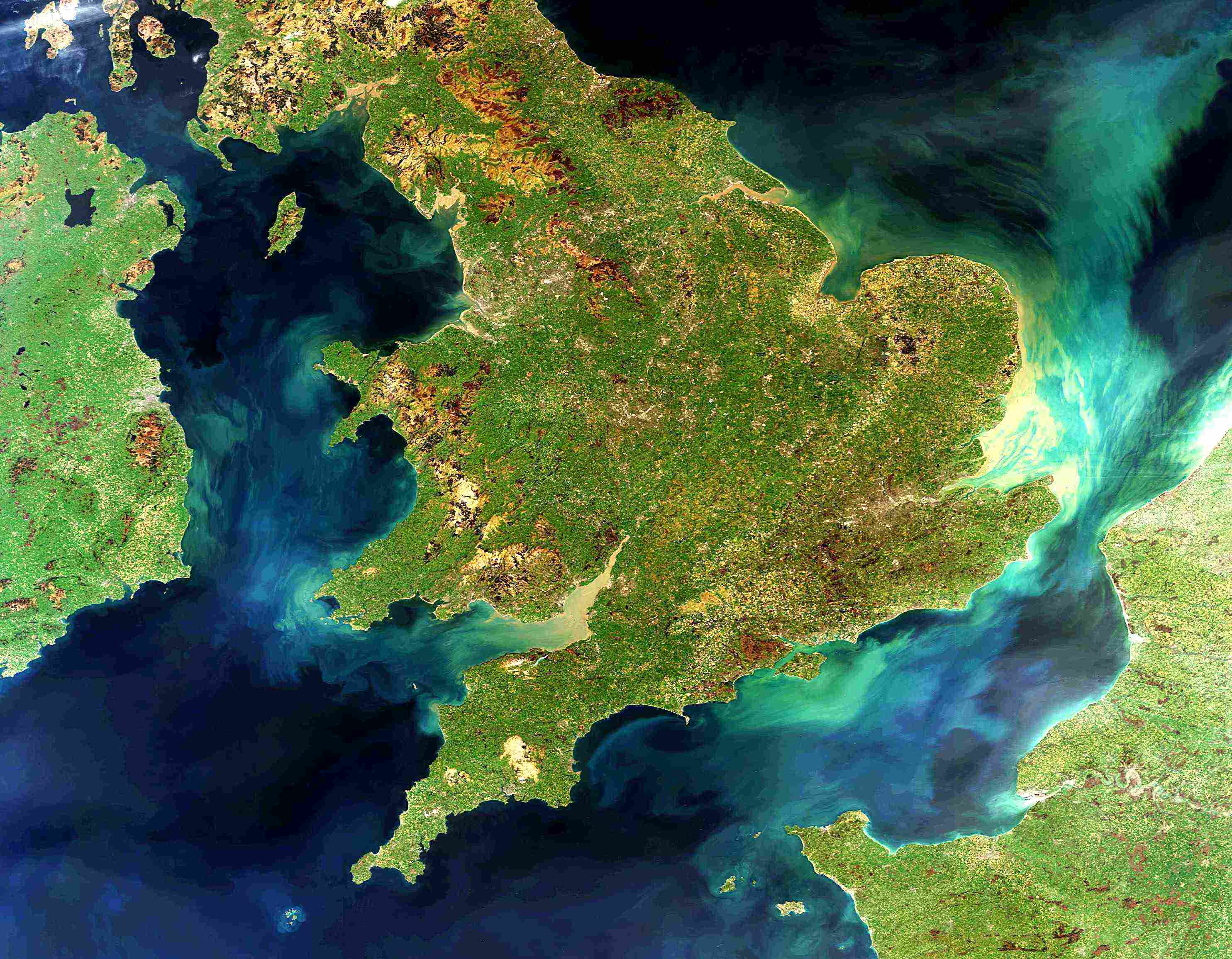
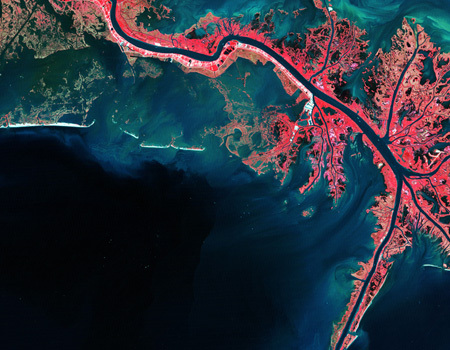
Global Shoreline
Building a global processor for the coastline
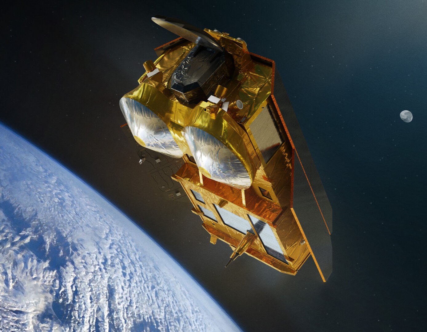
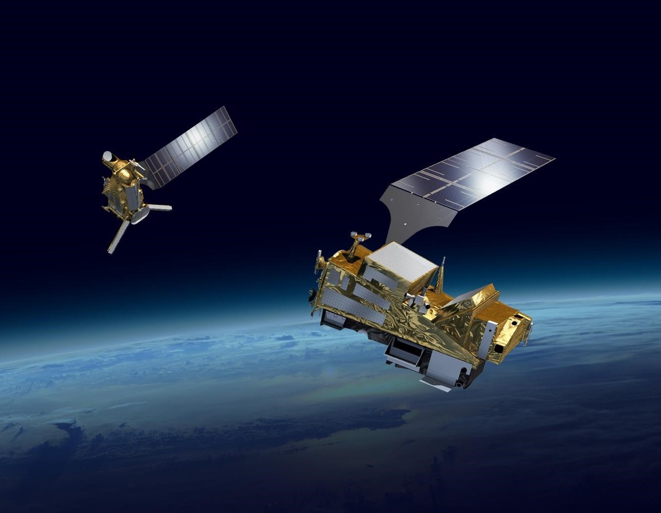
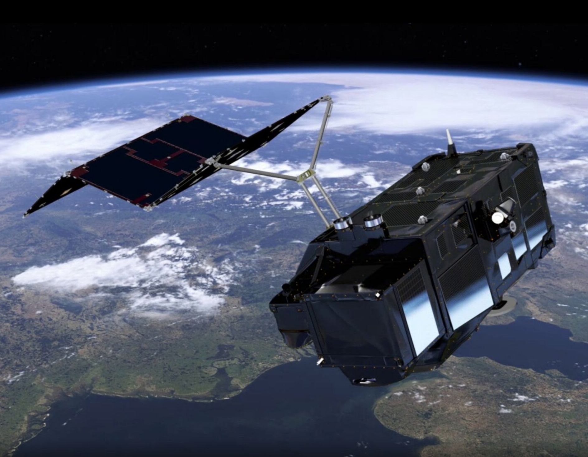
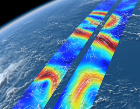
CRISTAL L1&GR GPP
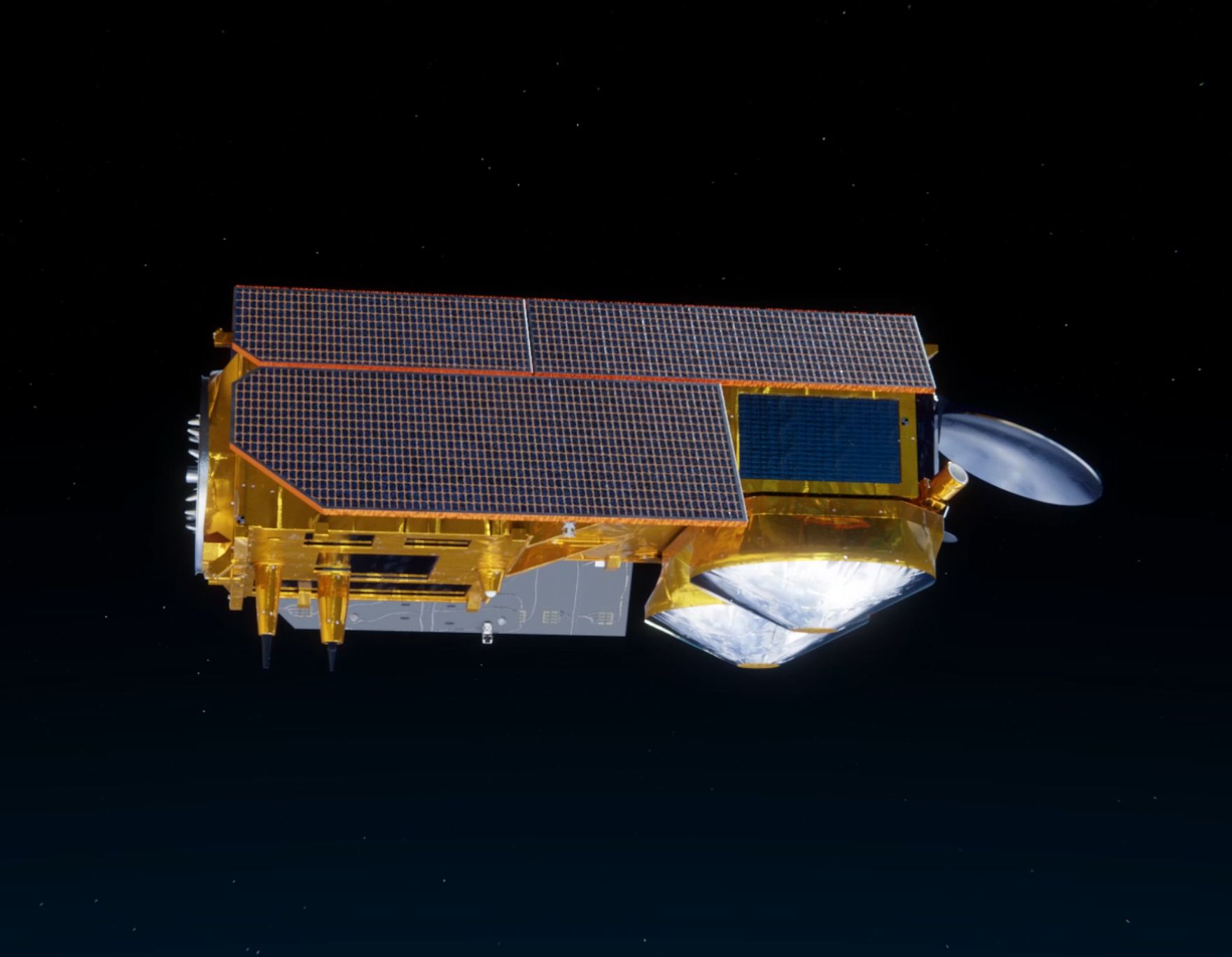
The new polar altimetry mission
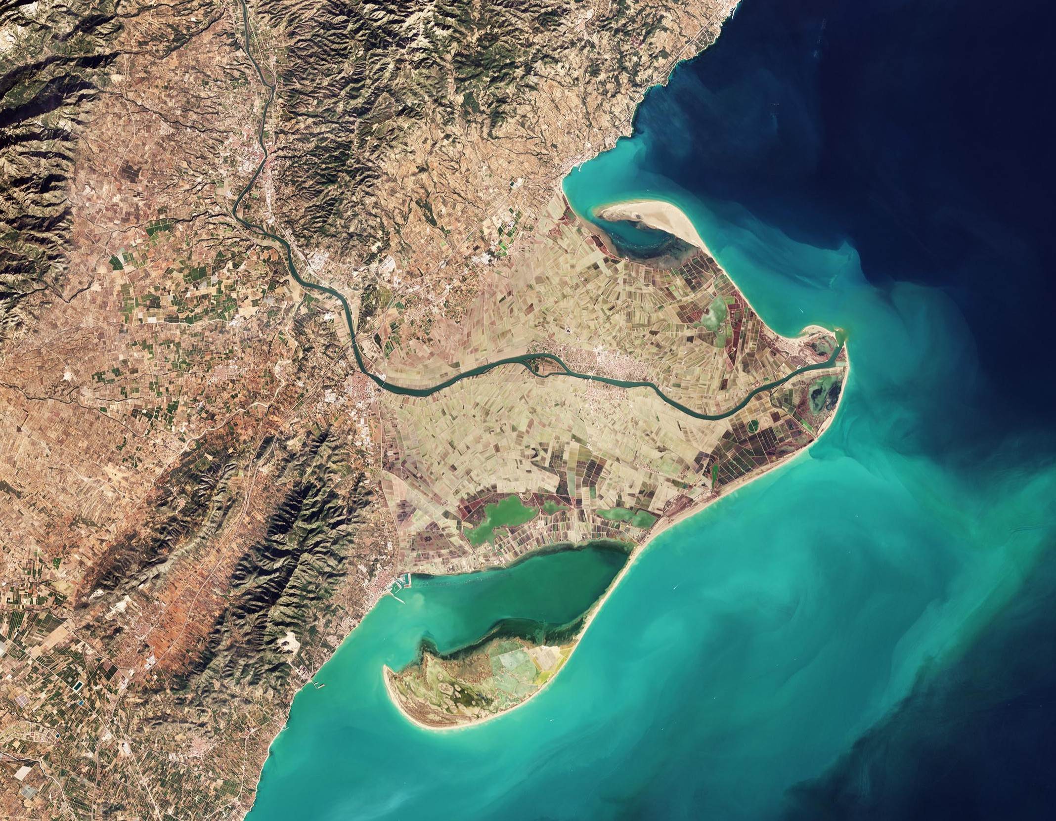
VALERIA
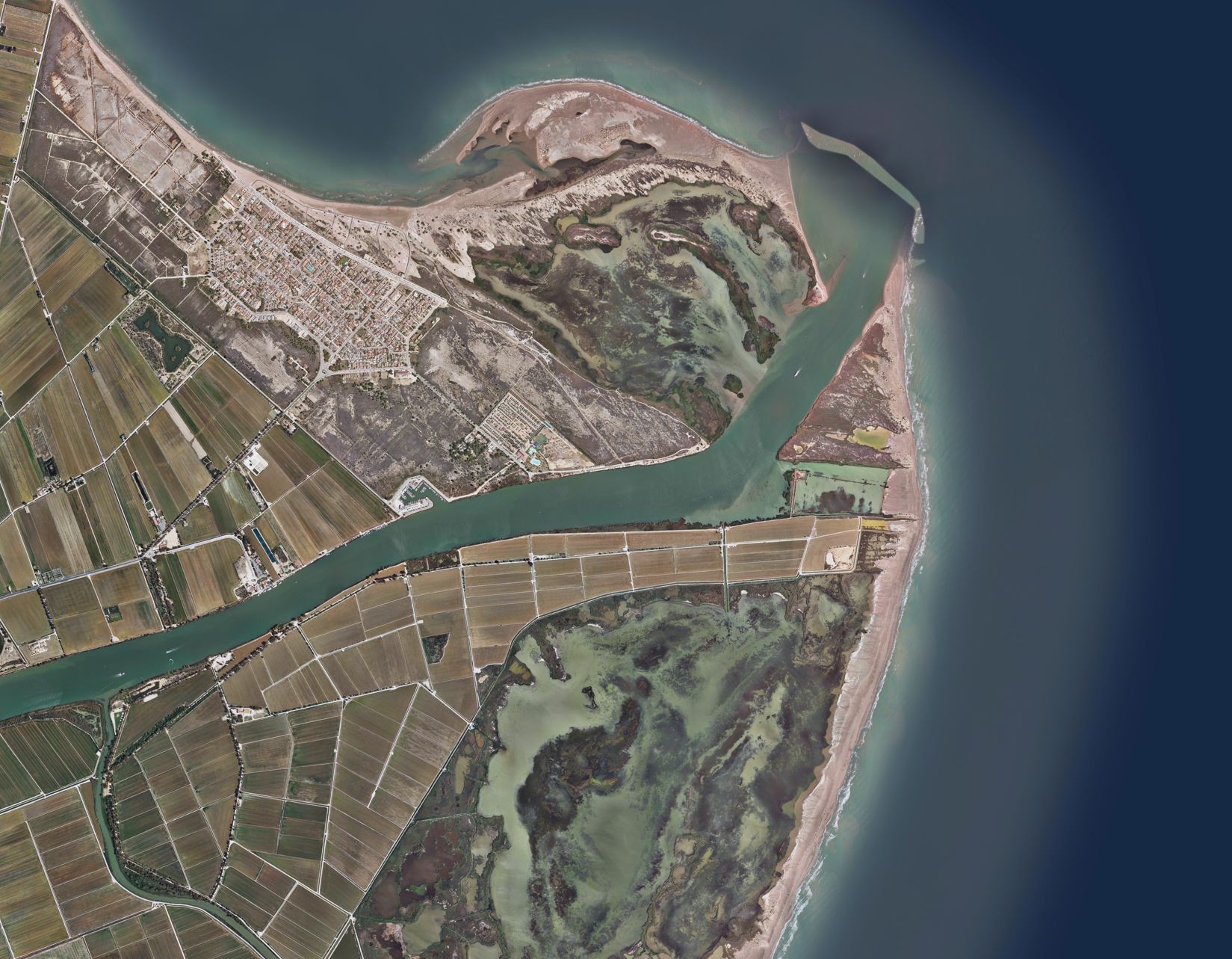
Validating Algorithms Levels 1A and 2 in Ebre River Area
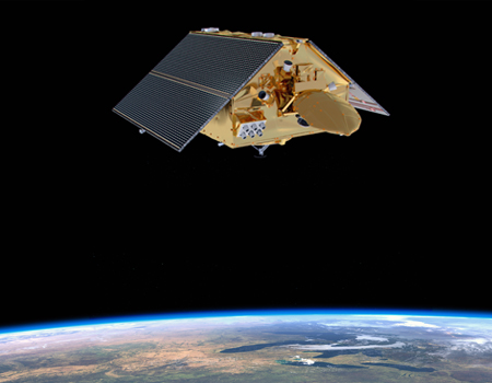
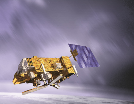
EPS-SG LP reengineering
EUMETSAT Polar System-Second Generation

ACCWA
Accounting for Climate Change in Water and Agriculture management
UAWOS
Unmanned Airborne Water Observing System
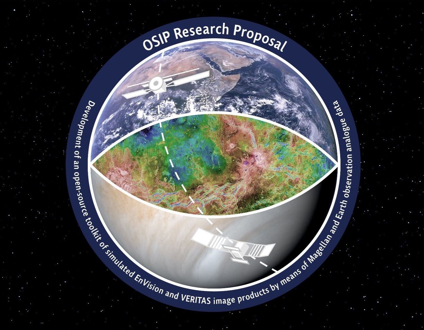
EnVision
Radar products for Venus surface change detection
SwellStats
Improving sea surface SAR altimetry estimates
S3NG
Sentinel-3 Next Generation Topography
Snap Earth
Improving access to Earth Observation data
SARWAVE
New sea state products from SAR images
Sentinel-6 L1 GPP
Developing algorithms for the latest operational oceanography programme
Water-ForCE
Water scenarios For Copernicus Exploitation
Sentinel-6 PDAP
Product generation for the latest operational oceanography programme
S3 MPC - Land
Support to an operational mission
COPAS
Copernicus Altimetry Service
ASCAT/SCA
Deblurring of ASCAT and SCA images
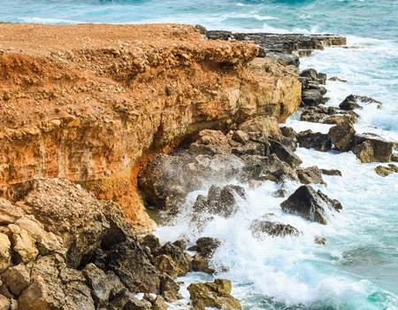
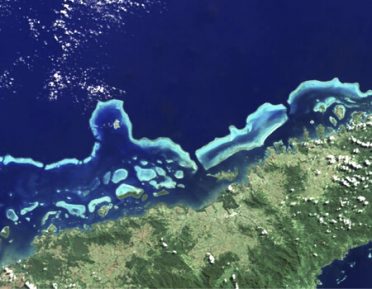
Coastal Change from Space
Monitoring the coastal erosion with satellites
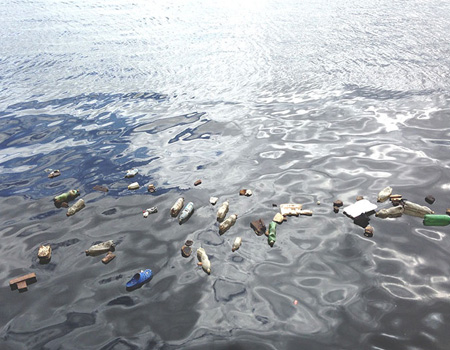
FRONTAL
Satellite FRONTs for detection of Anthropogenic plastic Litter
IDEWA
Remote sensing for irrigation and drainage monitoring
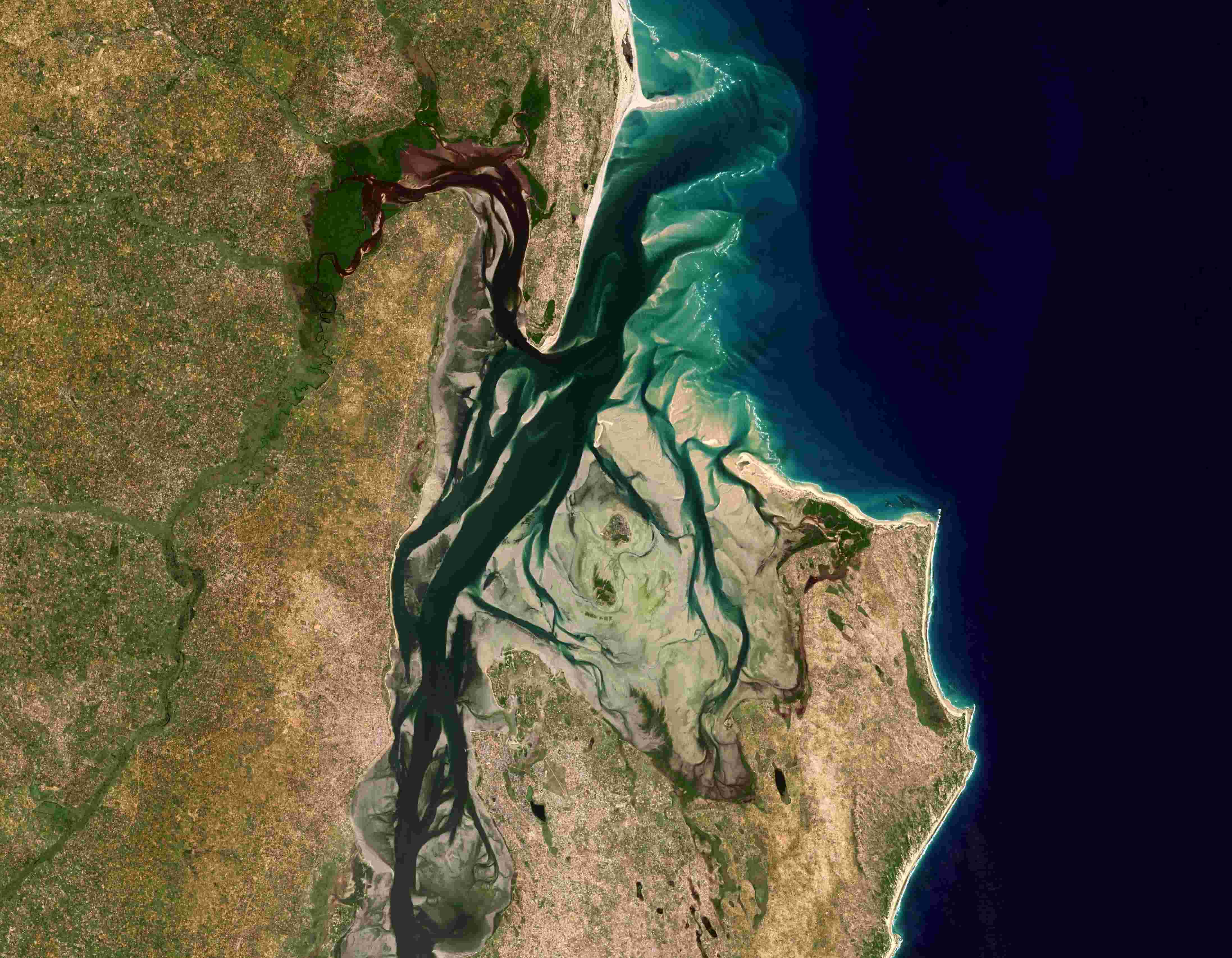
HYDROCOASTAL
Altimetry for Coastal Zone and Inland Waters
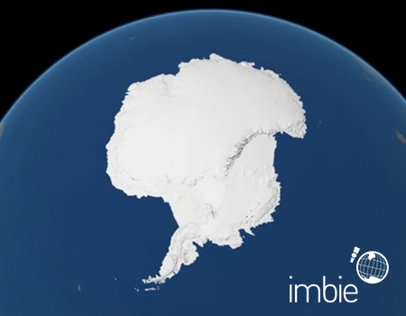
IMBIE
International collaboration of polar scientists
MIREIA
Marine Litter Signatures in Synthetic Aperture Radar Images
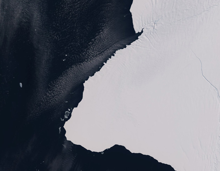
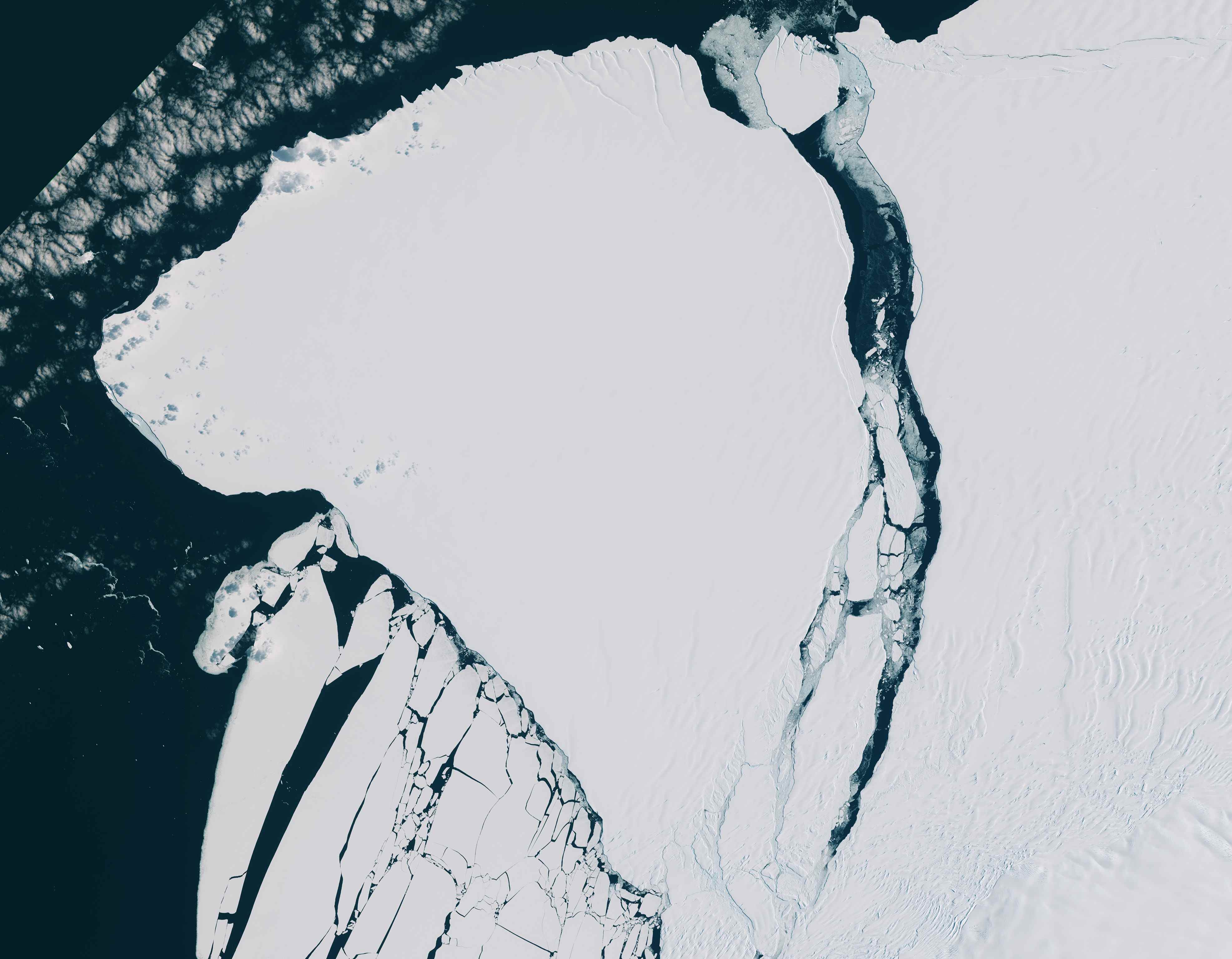
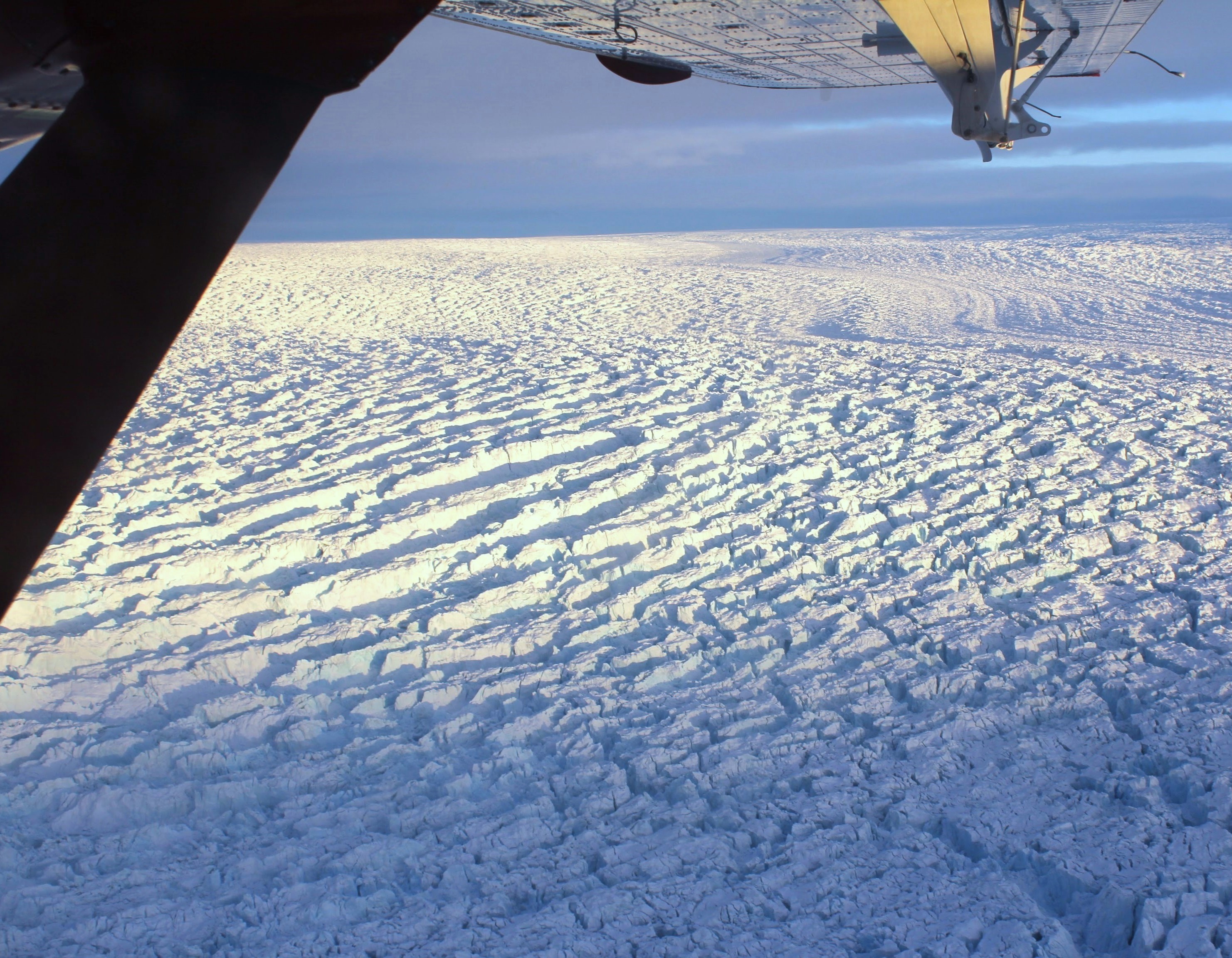
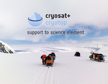
CryoSat+
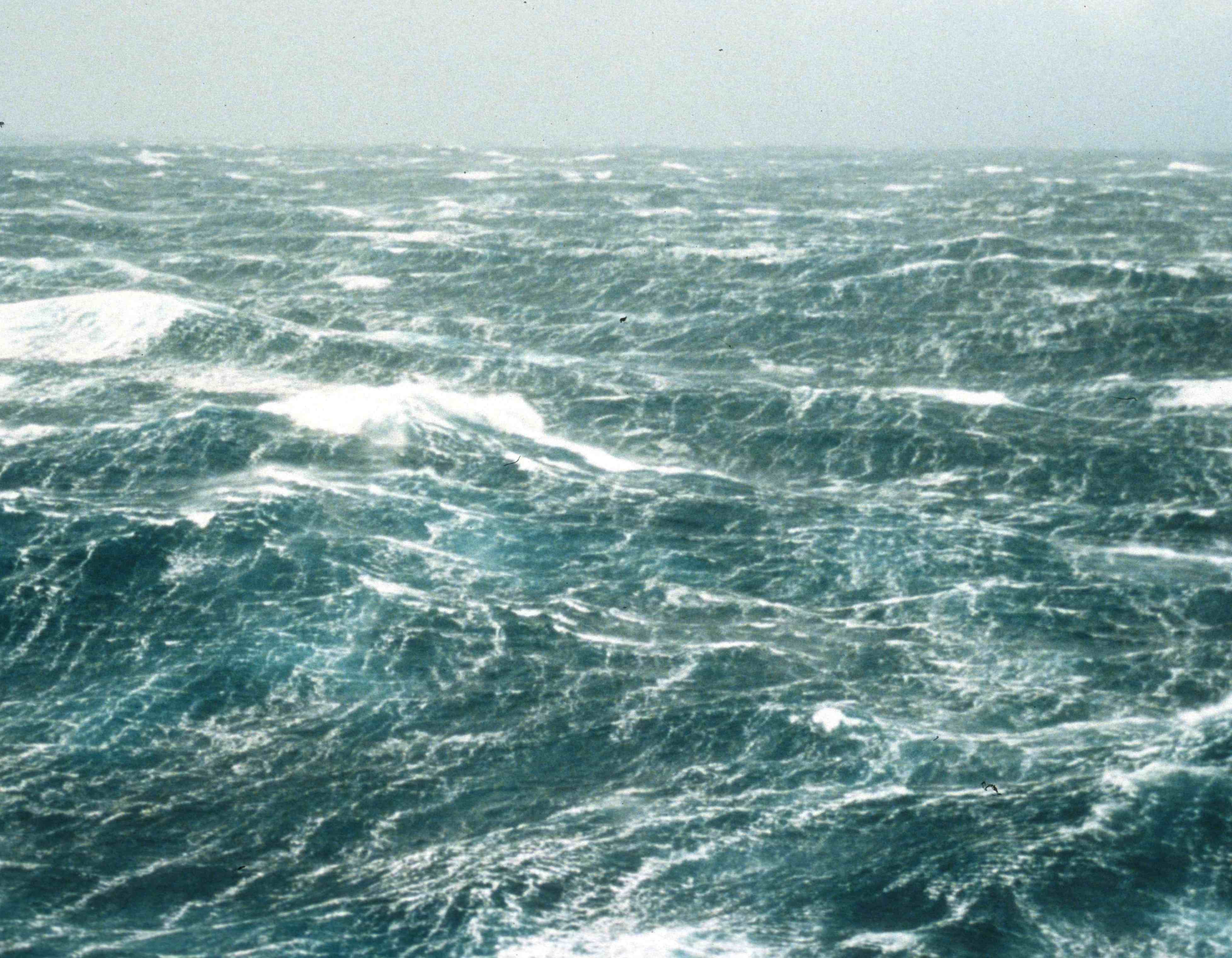
Antarctic Ocean
Towards a better understanding of the Antarctic climate system and ocean
Cryo-TEMPO
Swath Land Ice
CryoSat Thematic Products
water4ever
Optimizing water use in agriculture to preserve soil and water resources
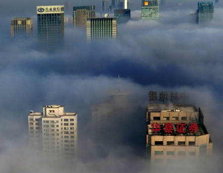
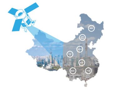
AirQast
Helping cities to turn green with air quality knowledge from satellites
SMOS NG Requirements
Review of L-band data applications
Sentinel-3 Mission Performance Centre
Support to an operational altimetry mission
CCI Sea State
ESA Climate Change Initiative
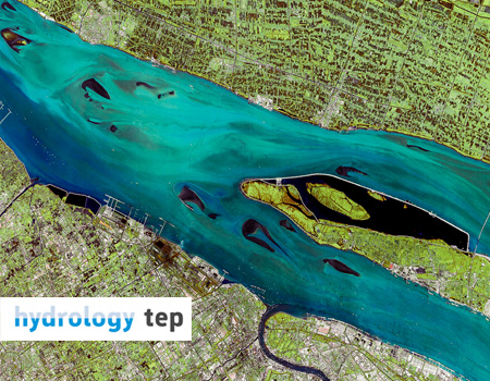
Hydrology TEP
A platform to generate water information form EO solutions
SKIM
Phase A
Copernicus Climate Change Service Global Impacts
Providing tailored climate data services
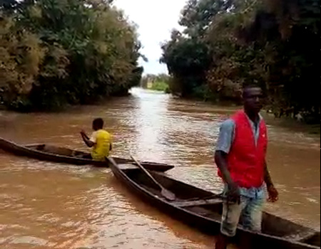
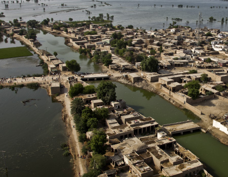
Fanfar
Operational flood forecasting and alerts in West Africa
CryoSat-2 TRP Calibration
Calibration of SIRAL using transponders
REC
Crop irrigation management by multi-sensor remote sensing approach
CryoSat+ Mountain Glaciers
Improving elevation changes measurements in mountain glaciers
RA-2 LTS
EnviSat long term support
SMELLS
Soil Moisture for dEsert Locust earLy Survey
Sentinel-3 Toolbox
SRAL data managament tool
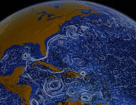
GlobCurrent
Studying ocean surface
DeDop
The S-3 SRAL Delay-Doppler toolbox
Cal/Val SMOS
Calibration and validation of SMOS brightness temperature
CCI Sea Level
ESA Climate Change Initiative
CryoTop Evolution
Mapping ice elevation by innovative altimeter swath processing
Sentinel-3 L1 GPP
Participating to an operational oceanograpy mission
RA-2 L1B ESL
EnviSat expert support
SUHET
S-3 User Handbook
SHAPE
Inland Altimetry
SCOOP
Altimetry Ocean and Coast
SPICE
Altimetry Ice-sheets
CP4O
CryoSat Plus for Ocean
Marco Polo
China-EU cooperation
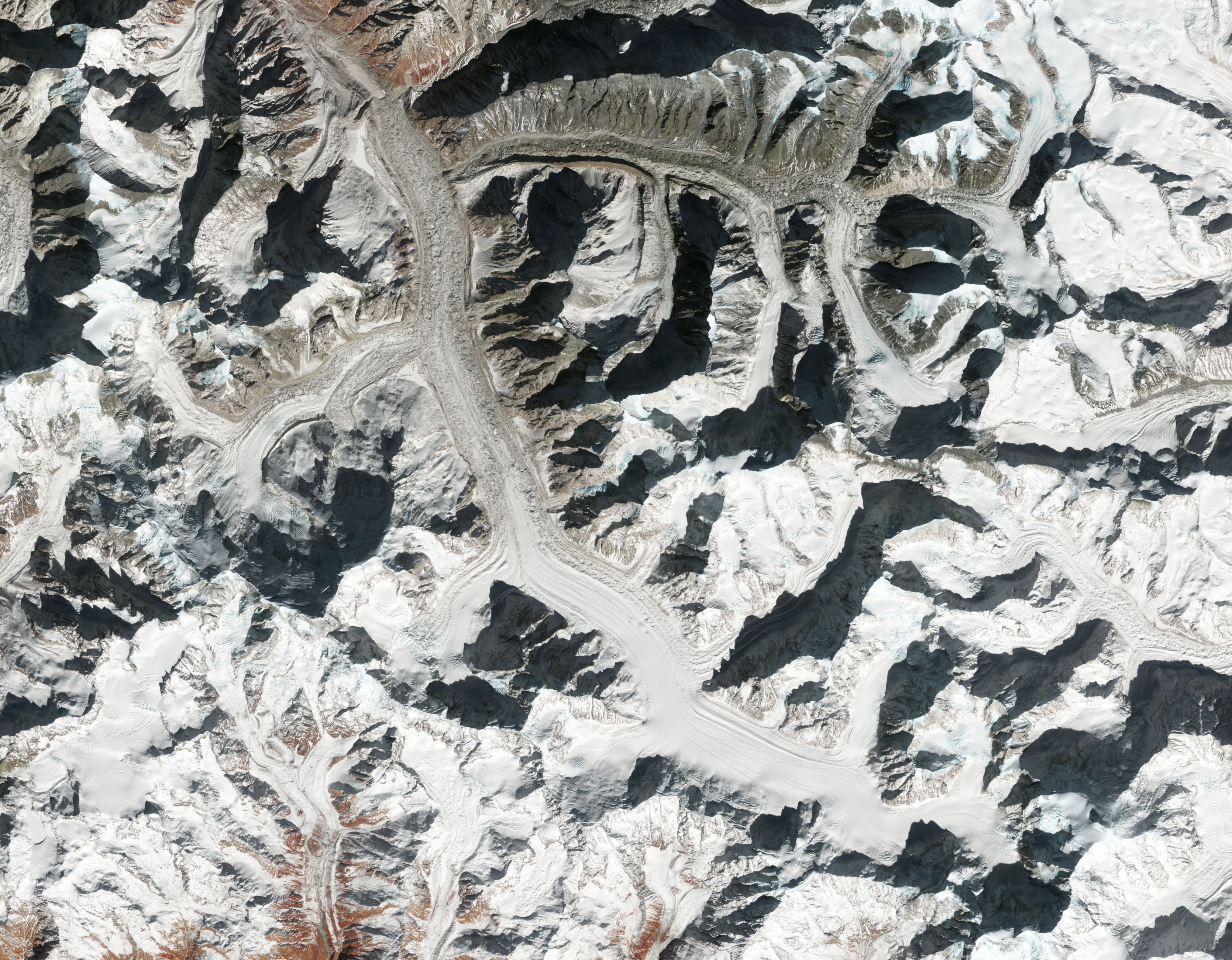
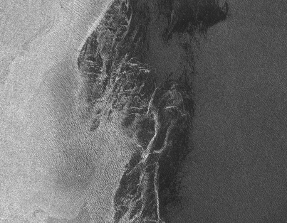
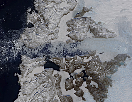
CryoTop
Fine glacier and ice sheet margin topography
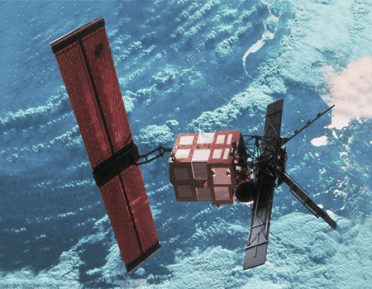
REAPER
Providing altimetry data continuity
MalarSat
Detecting water puddles
BASE
Bathymetry platform
DROP SAVE
Detecting water distribution and reservoirs losses
Dragon 4 - Ocean
ESA-MOST Cooperation Programme
Dragon 4 - Land
ESA-MOST Cooperation Programme
SMOScat
Providing soil moisture cartography
Arctic+ Snow
Understanding snow on Arctic sea ice
Arctic+ Ice
Estimating sea ice mass balance
SWICCA
Information Service on Water Management
DRAGON 3
ESA-MOST Cooperation Programme
CryoVal Land Ice
Studying land ice
The Living Planet Fellowship
Studying ocean currents
Torres Quevedo
Industrial research
Agora
Providing data for hydrological models