Malaria is one of the major public health challenges undermining development in the world. The aim of the MalarSat Project was to provide malaria risk infection maps at a global scale using Earth Observation data to support and prevent epidemic episodes. The methodology was developed and tested in Mozambique. The proposed service for creating malaria risk maps was willing to improve the efficiency in insecticide programs, vaccine campaigns and the logistics epidemic treatment.
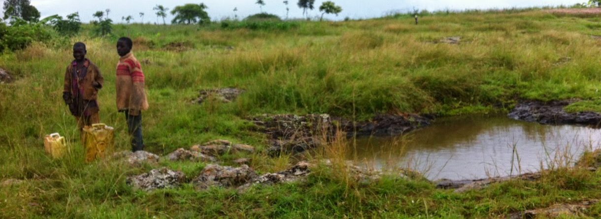
Different teams had already carried out studies in order to exploit the use of Earth Observation (EO) data with epidemiology purposes. In the case of malaria risk maps, it has been shown that meteorological data were not sufficient to fulfil this objective. In particular, being able to map the malaria mosquito habitat increases the accuracy of risk maps. The malaria mosquitoes mainly reproduce in new water puddles of very reduced dimensions (about 1 meter wide). There was no instrument that could detect such small patches of water unless there are many of them spread in an area of several hundreds of meters. MalarSat aimed at using the radar altimeter data from the EnviSat, RA-2, to build indicators of the mosquitoes existence.
isardSAT was leading the most challenging part of the project: the use of radar altimeter data to detect water puddles of very reduced dimensions. The interest of RA-2 relied on its ability to discriminate a particular echo shape. Due to the flatness of these water surfaces (and therefore very specular reflection), these areas produced a particular echo shape even if the water surface is only a small part of the radar footprint.
References:
M. Roca, M.J. Escorihuela, D. Martínez, M. Torrent, J. Aponte, F. Nuñez, and J. Garcia ”Malaria EarlyWarning: The MalarSat project” Geophysical Research Abstracts, Vol. 11, EGU2009-9514, EGU General Assembly 2009
M. J. Escorihuela and M. Roca ”Application of Envisat RA-2 measurements over land surfaces: the case of Mozambique flood” Geophysical Research Abstracts, Vol. 11, EGU2009-3178, EGU General Assembly 2009