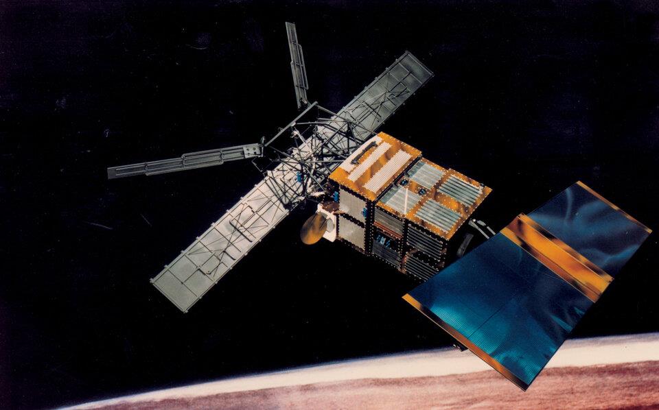
 After 8 years of operation, ERS-2 (launched in 1995) experienced a tape drive failure that left the instruments operating only within visibility of a ground station. © ESA
The aim of FDR4ALT project is to generate new data records from measurements acquired by the altimeter and radiometer instruments onboard ERS-1, ERS-2, and EnviSat over oceans, coasts, inland waters, ice sheets, sea ice, and atmosphere. In 2003, the ERS-2 altimeter experienced an onboard data recorder failure after 8 years of its lifetime. Subsequently, 8 more years of altimetric records were lost due to the absence of specific crucial calibration data.
isardSAT will conduct an investigation to recover the second half of ERS-2 mission altimetry data during Phase 2 of the project. The work will leverage our expertise gained from the EnviSat altimeter mission L1B algorithms.
Go to project site