REAPER
Providing altimetry data continuity
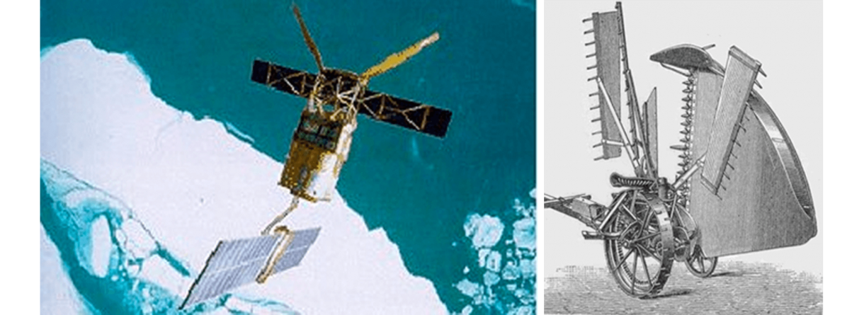
Since 1992 three ESA missions (ERS-1, ERS-2 and EnviSat) provide altimetry data. Initially designed without a continuity sense, data from these satellites and their products were developed independently.
The aim of the REAPER project is to develop a continuous and homogeneous altimetry database. ERS-1 and ERS-2 data will be re-processed using the best available algorithms and corrections to deliver the products as accurately as possible. The new products will be as similar as possible in form and character to RA-2 (EnviSat) products in order to create a homogeneous database.
Further information on the project