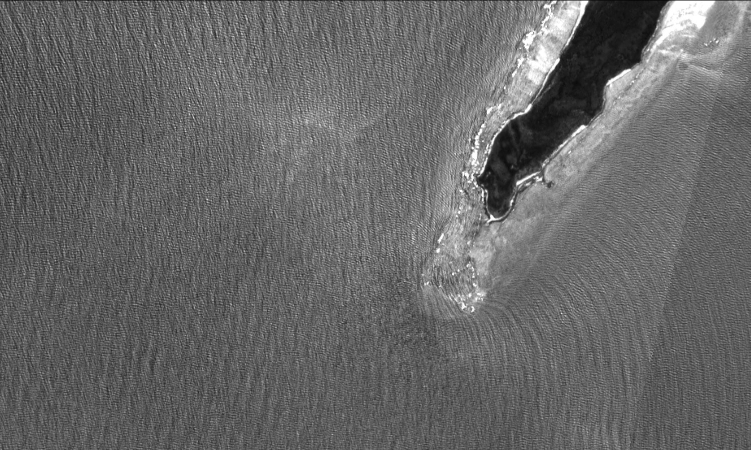
 Sentinel-2 image of the tip of Dorre Island (Australia) © Contains modified Copernicus Sentinel data (2016), processed by OceanDataLab, CC BY-SA 3.0 IGO
The SwellStats project aims at improving the reliability of the estimates of the sea surface’s geophysical parameters made by SAR altimetry processing, increasing its value to assess informed climate-related decisions.
Estimates of the geophysical parameters of sea surface can be obtained from satellite-based altimetric measurements by interpreting the way in which the surface shapes the reflected pulses of the radar. To do so, the state-of-the-art model used in conventional altimeters considers three significant parameters: the mean surface height, the standard deviation of the sea surface and the backscatter cross-section of the surface. However, with SAR altimetry, the picture is not so clear. When there is a distinct swell in addition to the local wind waves, these three parameters are not sufficient to adequately determine the backscattered waveform. In these cases, using the state-of-the-art model to interpret the returned pulse will give biased estimations of the geophysical parameters. This bias depends on swell, which is variable over the oceans.
isardSAT will develop a specific physical mechanism that causes swell dependence of the backscattered waveform, and a method to test this hypothesised mechanism. This method will be a practical means of determining the swell sea directly from SAR altimetric data and avoiding the swell induced bias.